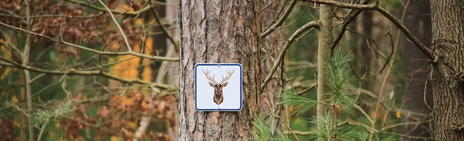
There are over 45 km of hiking trails in the Northumberland County Forest including the eastern connection of the Oak Ridges Hiking Trail. The trails explore the rolling terrain and visit areas of forest, wetland, sand barren, woodland, savannah and tallgrass prairie.
Trailhead parking locations
Beagle Club Trails
- Address: 180 Beagle Club Road, Harwood
- Get here by GPS: 44.096,-78.105
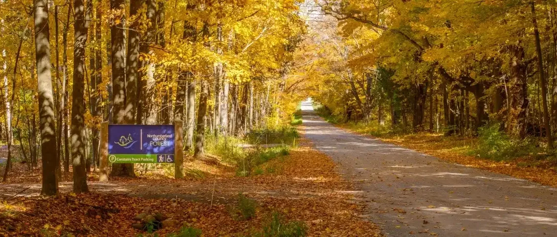
Carstairs Trails
- Address: 1178 Bowmanton Road, Roseneath
- Get here by GPS: 44.122262, -78.109584
Woodland Trails
- Main Trailhead Address: 7363 County Road 45, Roseneath
- Get here by GPS: 44.119,-78.092
- Oak Ridges Trailhead: 6653 County Road 45, Baltimore
Hiking trails
-

Beagle Club Trails
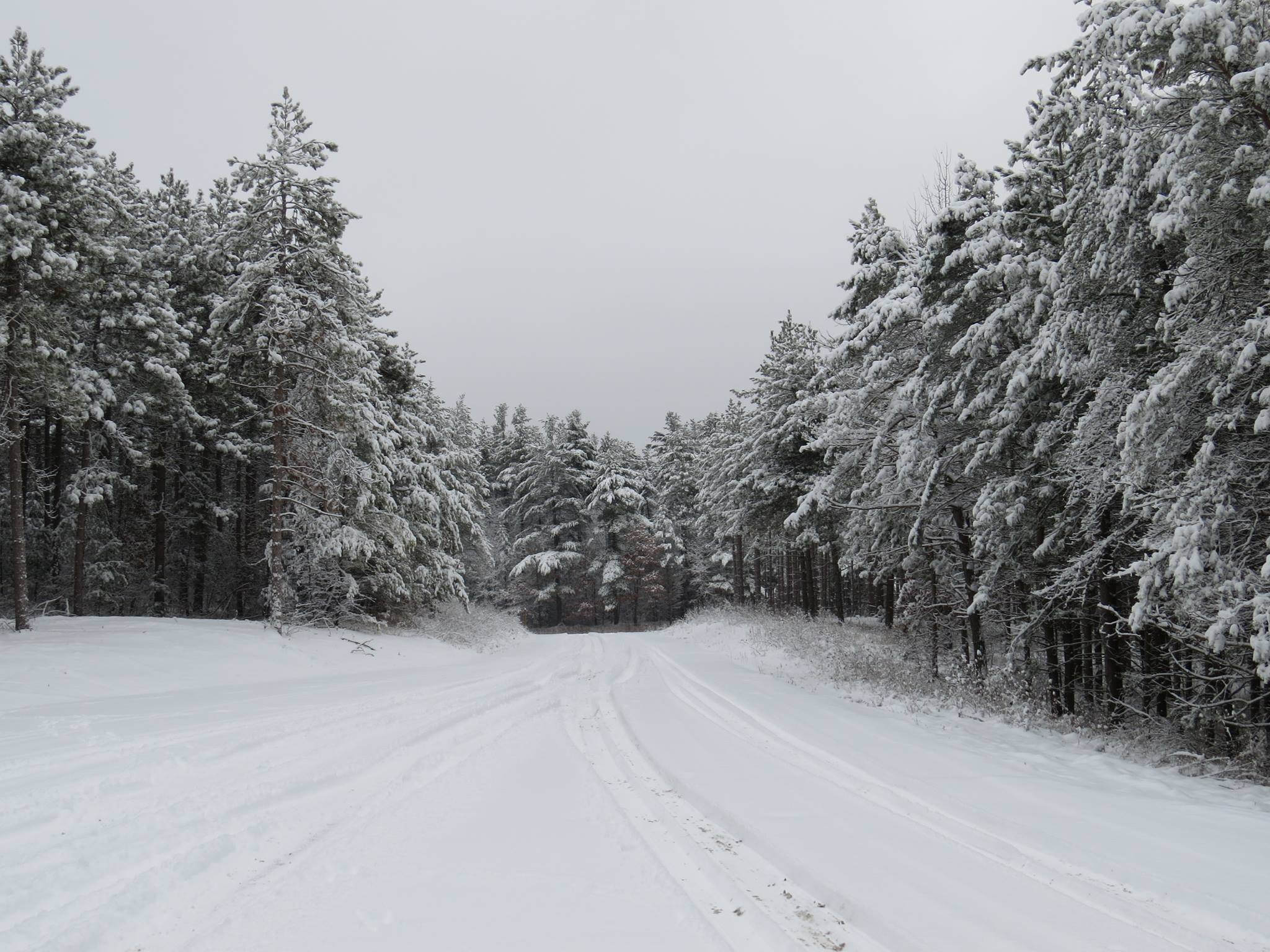
The Beagle Club Trails range from 1 km to 14 km. The Heritage Trail at the Beagle Club Trailhead is a 1 km long universal trail. Please note these trails are closed for hiking each winter from December-March as they are reserved for cross-country skiing only.
-
Carstairs Universal Trail
The Carstairs Universal Trail is 3.2 km overall, with four possible loops – the smallest being 750 m and the longest being 2.2 km. The grades are gentle and the tread is over 2 m wide. There are also over 40 interpretive signs that describe rare trees in Ontario.
-
Woodland Trails
The Woodland Trails parking and trailhead is located on the east side of County Road 45, across from Woodland Road. Be sure to check out the scenic hike to Lookout Mountain and the Woodland Porcupine Trail — a 1 km universal trail featuring interpretive signs and resting benches along the route.
-
Oak Ridges Trail
The Oak Ridges Trail is part of the Woodland Trails. Parking for this trailhead is located at Morris Road and County Road 45. From this trailhead, users can head west or east (approximately 8.5 km either way).
Winter hiking closure at Beagle Club Trailhead

Universal trails
Northumberland County Forest has three universal trails:
- Carstairs Universal Trail (3.2 km with four possible loops from 750 m to 2.2km)
- Beagle Club Heritage Trail (1 km)
- Porcupine Trail at Woodland Trailhead (1 km)
These trails are different from others in the County Forest because they have a wide and sturdy trail with a smooth surface and gradual sloping grades. Benches are available at rest areas along the trail so no one has to go more than 364 m before finding a place to rest. A designated accessible parking spot is also available at each of the universal trail parking lots.
Universal Trails aim to minimize barriers to accessibility, and meet or exceed accessibility guidelines and regulations. We want to make recreational opportunities in the County Forest accessible to more members of our community.